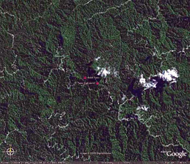
Bukit Tasu
A trig point in the 3rd division of Sarawak.
Scaled coordinates from a 1:500,000 map are 113° 53' 45"E 2° 00' 20"N.
A point has been entered using these values and then a high point found by searching elevations the height from the map is 4111ft or 1252m.
Google Earth Vertical view.
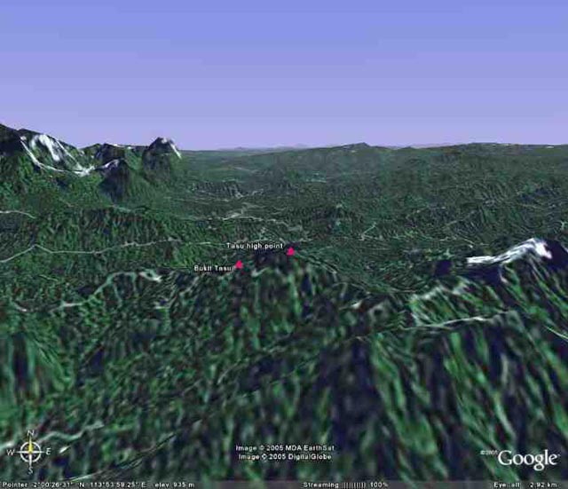
View from the South.

Spr. Pete Mansell observes with the 5 inch geodetic 'Tavistock' theodolite and Cpl. Brian Houldershaw attends to the booking on Bukit Tasu (4,109 ft).

Pete Mansell and the lads of 'echo one-two' observation team on Bukit Tasu (4,109 ft).
With thanks to Brian Houldershaw for the photographs.